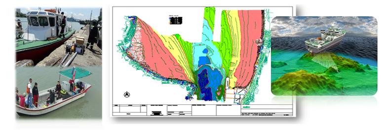
Hydrographic/Bathymetric Survey is carried out to depict not only the relief of the seabed, including all features, natural and man-made, and to indicate the nature of the seabed in a manner similar to topographic maps of land area but also to record data on tidal phenomena such as tidal regimes, currents, waves, salinity, and wind as required by client.